Fiche technique
Format : Broché
Nb de pages : 234 pages
Poids : 244 g
Dimensions : 13cm X 18cm
ISBN : 978-2-918824-16-9
EAN : 9782918824169
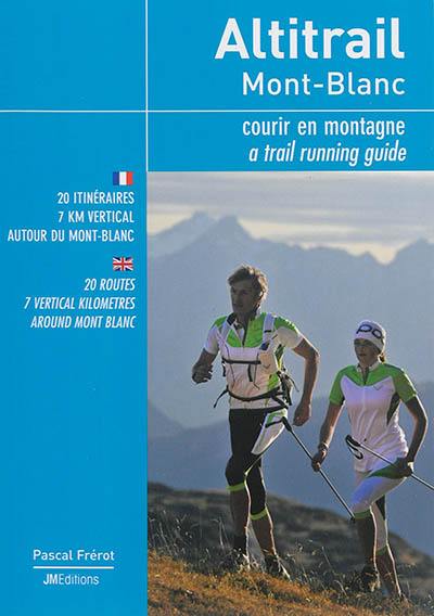
Altitrail Mont-Blanc
courir en montagne
20 itinéraires, 7 km vertical autour du Mont-Blanc
Quatrième de couverture
Les plus beaux parcours de trail du massif du Mont-Blanc Courir en montagne est une formidable manière de s'immerger en pleine nature et de goûter aux caprices des reliefs. Emblématique du développement fulgurant du trail, la région du Mont-Blanc - à cheval sur trois pays (France, Suisse et Italie) - offre les plus belles escapades des Alpes avec l'omniprésence du toit de l'Europe en toile de fond !
Trailer et guide de haute montagne, Pascal Frérot a concocté 27 parcours originaux pour le plaisir de tous, amateurs de trail ou de marche sportive)... Minutieusement décrits avec cartes de situation, profils de dénivelés, horaires et tracés sur photos pour une parfaite visualisation, ces itinéraires «altitrails» en terrain de moyenne montagne sont classés par niveau de difficulté.
The most beautiful trail runs in the Mont Blanc Massif
Running in the mountains is a wonderful way of immersing one-self in the countryside and enjoying the vagaries of the terrain. Lying at the crossroads between France, Switzerland and Italy, the Mont Blanc area boasts some of the most beautiful trails in the Alps, with the "roof of Europe" omnipresent in the back-ground. As a result, the area has become emblematic of the explosion in trail running.
Trail runner and mountain guide Pascal Frérot has devised 27 original circuits for mountain runners and fit walkers, all of which meander through mountainous but non-glacial terrain at the foot of Mont Blanc. Detailed descriptions supported by sketch maps, profiles, timings and photo diagrams provide clear overviews of each of these "altitrails", presented in order of difficulty.


